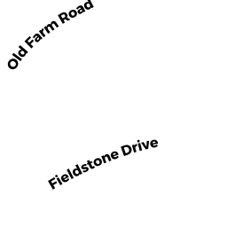
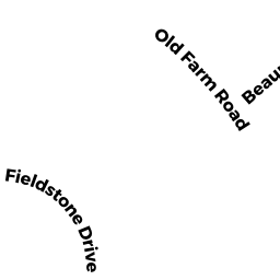
9 FIELDSTONE DR (PALM)
Owner Information
CHENEY JOHN T
9 FIELDSTONE DR
PALMER, MA 01069


Property Details
9 FIELDSTONE DR (PALM) is classified as a Single Family Residential (Modern).
The primary structure on this property was built in 2005. There are 6,901ft2 of built area within this property. There is 2,759ft2 of residential/living space within this property. This property is listed as having 8 rooms.
9 FIELDSTONE DR (PALM) is valued at $484,500. The land is valued at $61,600 and the structures are valued at $420,500. There is an additional valuation of $2,400 on this property.
This property is in Zone SR. Confirm with local Zoning Board authorities to ensure there are no overlays or other easements on this property.
The most recent deed for 9 FIELDSTONE DR (PALM) is recorded at the local registrar in Book 18911, Page 0071. 9 FIELDSTONE DR (PALM) was last sold on Monday, September 12, 2011 for $390,000.
Assessment data from fiscal year 2022.
Flood Data
According to the FEMA National Flood Hazard Layer, this property does not appear to be in a flood zone. It may also be in an area not yet reviewed. Nonetheless, confirm this information prior to taking any action.
To view the flood hazards around this property, create a FEMA "Firmette" Map of the area around 9 FIELDSTONE DR (PALM).
Broadband Internet Providers
| Provider | Type | Bandwidth (mbps) | |
|---|---|---|---|
| T-Mobile | Fixed Wireless | 25 | 3 |
| Comcast | Cable | 1000 | 35 |
| GCI Communication Corp. | Satellite | 0 | 0 |
| HughesNet | Satellite | 25 | 3 |
| VSAT Systems, LLC. | Satellite | 2 | 1 |
| Verizon New England Inc. | DSL | 5 | 0 |
| Viasat Inc | Satellite | 100 | 3 |
Broadband service provider data from December 2020.
Adjacent Properties
- 15 FIELDSTONE DR (PALM)
Single Family Residential owned by SLINEY RICHARD T & SNELGROVE SHARON V - 16 OLD FARM RD (PALM)
Single Family Residential owned by ELKAS DOLORES M - 7 FIELDSTONE DR (PALM)
Single Family Residential owned by GONSALVES STEPHEN A - 10 OLD FARM RD (PALM)
Single Family Residential owned by SABLAK EDWARD J - 12 OLD FARM RD (PALM)
Single Family Residential owned by JONES KEITH A (LE) & SHARON M (LE) - 14 OLD FARM RD (PALM)
Single Family Residential owned by BLAZEJOWSKI SHARON M